
Walk Rockford Streets by Address
A sound Rockford street directory search starts with the parcel, not a guess about a household. The Winnebago County assessment search ties a street address to a PIN, owner or taxpayer label, legal description, and year-specific assessment card. WinGIS then shows the mapped parcel and its neighbors. Those facts establish ownership and geography, not current occupancy. A voter lookup can confirm only a known person through several identity fields, and a dated city directory can identify a past resident or boarder.
- Standardize one full address, including direction and suffix. Search the assessor's Parcel Location mode and record the PIN.
- Open WinGIS Property Search. Click the target and adjacent parcels, noting boundaries and the map date.
- Use the current owner as a grantee in the Recorder index. Follow each seller as an earlier buyer while matching the legal description.
- Filter city permits by exact address or PIN. Treat the applicant and contractor as roles, not residents.
- For a known person, use the state voter confirmation form. For earlier households, consult dated reverse directories at the library.
This chain answers several questions without blending them. The parcel card says who is assessed. A deed says who held title. A permit records work and named participants. A directory records a person or firm at an address in one edition.
Rockford Street Directory Search Fields
The assessor accepts one of three search categories. Address mode is the practical street-directory route, while the owner and PIN modes help confirm a result. The interface includes current data and assessment years back through 2003. It has no ZIP field and no verified whole-street export, so long streets should be checked by number or mapped segment.
| Mode | Fields | Limits and format |
|---|---|---|
| Parcel location | Number, direction, street, suffix | 6, 2, 15, and 4 characters |
| Owner name | Last name, first name | 20 characters each |
| PIN | Four PIN segments | 2-2-3-3 digits |
Save the tax year shown with each result. An exemption may support an owner-occupancy inference, but it does not prove that a named person is present today.
Map a Rockford Street in WinGIS
WinGIS joins parcel geometry to the street search. Its participating agencies include Winnebago County, Rockford, Loves Park, Machesney Park, Cherry Valley, the park district, water district, and sanitation authority. Search by address or PIN, click each parcel, and preserve the parcel identifier before moving to an adjacent lot. The viewer also offers layers, measuring and markup tools, property links, and 1939 aerial imagery.
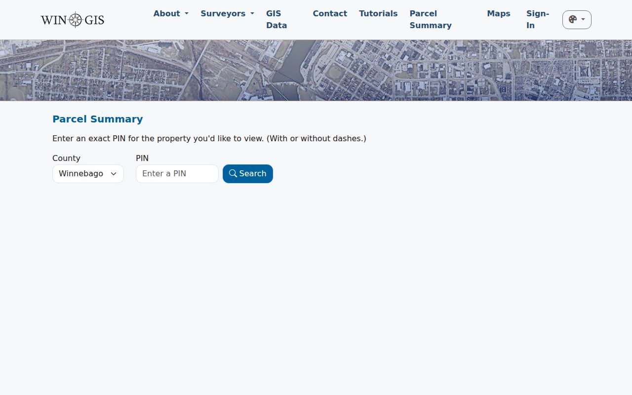
The captured WinGIS Parcel Summary source shows the entry point used for parcel research.
GIS provides spatial context. The deed and plat remain the title sources when a boundary, split parcel, or legal description matters.
For long roads, divide the map into short segments bounded by cross streets. Capture each PIN in map order, then run those identifiers through the assessor. Do not assume consecutive street numbers mean consecutive lots. Alleys, road tracts, merged parcels, condominiums, and corner lots can interrupt the sequence. Measured geometry can guide the work, but only a recorded plat or deed resolves the legal parcel.
Rockford Records Keyed by Street
Each address-based source has a narrow function. Together they form a stronger Rockford street directory, provided every field keeps its own label and search date.
| Record Set | Keeper | What It Shows | Access |
|---|---|---|---|
| Assessment roll | Supervisor of Assessments | Owner/taxpayer, situs, mailing address, PIN, exemptions | Free portal; 2003 through current |
| GIS parcel map | WinGIS | Parcel shape, nearby lots, map layers, 1939 aerial | Free viewer |
| Deeds and liens | Winnebago County Recorder | Parties, legal description, dates, book/page | Direct, paid services, office, mail or email |
| Voter confirmation | Illinois State Board of Elections | One known registration after identity and address fields | No anonymous street list |
| Building permits | City of Rockford | Issue date, work, address, PIN, applicant, contractor, value | Public open data |
| Reverse directories | RPL and WCHS | Dated occupant, boarder, or business by address | Scans, library database, microfiche or request |
The PIN links assessment, GIS, and many permits. The legal description links title records when a deed omits the modern street number. A street name helps with directories, but only after old spellings and number changes are checked.
Keep an audit sheet for every lot: standardized address, PIN, legal description, source URL, access date, tax or directory year, and the exact role assigned to each name. Leave space for conflicts. One source may omit the street direction while another uses a suffix or old number. Resolve those differences before comparing people.
City FOIA is a fallback for an identifiable permit or code file not exposed online. Requests go through the Rockford public-records portal. State a date range, department, property address, PIN, case number, and record type. A focused request is more useful than a demand for everything about a person.
Rockford Address Terms That Matter
Small labels prevent large mistakes in a by-address search. Record the source's own term instead of changing every name tied to the parcel into “resident.”
- Parcel
- A mapped unit of land identified by a PIN.
- Situs address
- The physical location used by the assessor and GIS. It can differ from the tax mailing address.
- Plat
- A recorded map of lots, blocks, streets, and subdivision lines.
- Criss-cross directory
- A directory arranged by street and number, allowing an address-to-name search.
A mailing address may point to a trust, agent, firm, relative, or forwarding destination. It is a clue, never automatic proof of where the owner lives.
Follow Rockford Deeds Behind Numbers
The Winnebago County Recorder search routes include free Direct Search for basic index data, Tapestry for occasional paid searches, Laredo for subscribers, the public counter, and mail or email requests. Direct Search has no document images. The county advises leaving the comma out of a party-name query. More than five counter searches move to a public station.
Save the grantor, grantee, instrument type and number, filing and instrument dates, consideration, legal description, and book/page. A grantor is the transferring party; a grantee receives the interest. Search the current owner as grantee, then repeat with the seller as an earlier grantee. Historical deed records for 1836–1891 and entry books for 1845–1968 are listed through IRAD at Northern Illinois University. The county has not published a verified start year for its current online index.
Office copies are listed at 50 cents per page. Mail and email research has separate search fees by document age or type, allows no more than five searches per request, and may take up to two business days. The Recorder does not perform phone searches.
Direct Search is best for a quick party and index check. Tapestry adds paid image access for occasional use, while Laredo is the subscription route. When none reaches the needed year, bring an exact name, approximate date, instrument type, subdivision, and book/page clue to the office or IRAD. This access ladder matters because the online beginning year has not been verified.
Rockford Permits Date Street Changes
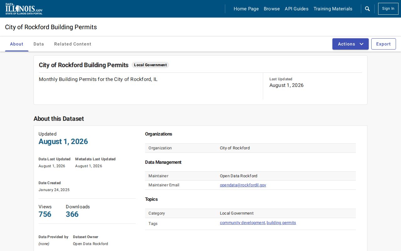
The Rockford building-permit dataset adds DateIssued1, permit type and number, work type, PropertyAddress, PIN, applicant name, contractor, valuation, and description. It was created in 2025 and showed an August 1, 2026 update during research. Those dates can explain changes seen on a parcel, but a permit applicant is not a complete household list.
Administrative cases use prefixes for code, building, and property standards matters. The Rockford Code Hearings page gives the current route when a notice has a case prefix. If no public paper is online, call with the property address.
Bridge Rockford's 1893 Renumbering
Rockford changed street numbers in 1893. That geography break can make a correct old city-directory entry appear unrelated to a modern parcel. Early entries may use “between,” “corner,” “near,” or “opposite” in place of a house number. Preserve direction, river side, intersection, township, and every spelling before comparing records.
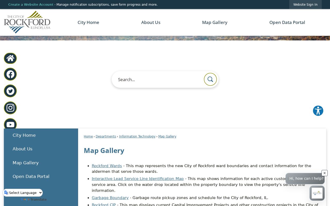
The Rockford Map Gallery supplies official ward, zoning, flood, historic-site, neighborhood-group, and other geographic layers.
The Rock River and east-west street directions add another local check. Postal place names can also overlap Rockford, Loves Park, and Machesney Park, so the parcel jurisdiction should settle a boundary question.
Historic township names need the same care. Cherry Valley appeared as New Milford around 1869, Durand as Howard, and Winnebago as Elida. Pecatonica also appears under Lysander in older material. Search both forms in directories, census schedules, newspapers, and deed indexes. A missing surname may reflect the place label, not a missing family.
Tax and Voter Street Limits
Winnebago County tax information can add bills, payments, delinquency, sale, and redemption context to a parcel. A tax sale sells unpaid taxes, not the property itself. Confirm any later ownership through a deed or court event.
The Illinois voter lookup requires first name, last name, birth date, and five-digit ZIP, followed by street number and a street-name choice. It confirms one known registration. It cannot return an anonymous list for a Rockford block, and restricted statewide data is not a general-purpose street directory.
Voter status has a date and limited meaning. It does not establish ownership, every adult at the address, or presence on the day of the search. Sensitive fields are withheld or redacted, and protected voters receive added safeguards. Preserve only what the lawful confirmation task requires.
Limits of Rockford Street Records
No official source returns every person living at a Rockford address. Assessment and deed records focus on land interests. Permit records name applicants and contractors. A voter search confirms a known registration at a dated refresh, not physical presence today. Old directories may list a resident, boarder, widow, firm, or worker and often omit other household members. Utility customer data and motor-vehicle addresses are not open street lists.
Lawful use. Use Rockford address records only for lawful personal research, such as family or property history. Never use an address trail to stalk, harass, threaten, or expose a protected person.
When the question shifts from old occupants to the shelves themselves, the Rockford city directory collections explain the available editions and their codes. Record a source date, exact role, jurisdiction, and URL for each result.