
Sources for Rockford Neighbors
No single public roll identifies every person on a Rockford block. The parcel map establishes which lots are adjacent. The Assessor labels owners or taxpayers, the Recorder documents title, and City permits describe dated work. Voter registration can confirm one known person through a multi-field match, but Illinois does not publish an anonymous street-browse tool. Historical directories and census schedules belong to a specific year. Use the table as a coverage map, not as permission to merge distinct labels into one neighbor list.
| Source | What It Shows About a Block | Access |
|---|---|---|
| WinGIS parcels | Parcel edges, adjacent PINs, zoning, map layers, 1939 aerial | Free address, PIN, and map viewer |
| County Assessor | Owner or taxpayer, situs and mailing fields, values, exemptions | Free PIN, address, or owner search |
| Recorder | Separate deed chains, plats, mortgages, liens, parcel changes | Direct Search, paid portals, office, mail, email, IRAD |
| City permits | Dated work by address or PIN, applicant, contractor, valuation | City guidance and open dataset |
| Voter lookup | One named registration match and status | Name, birth date, ZIP, then street confirmation |
| Neighborhood groups | Association geography and community context | City ArcGIS address or PIN map |
| Reverse directories | Historic occupant or business at an address | RPL, WCHS, and licensed library databases |
A mailing address may belong to a tax agent or an owner who lives elsewhere. A homestead exemption can support an owner-occupancy theory, but it does not identify every member of a household. Likewise, a permit applicant can be an owner, agent, or contractor. Preserve the exact source term and the date searched.
Compare Rockford Parcel Labels
The Winnebago County assessment search accepts a formatted PIN, parcel-location parts, or an owner's first and last name. Its result path includes a WinGIS link and assessment years back through 2003. For each lot, record the PIN, parcel location, owner or taxpayer label, mailing address, legal description, assessment year, and any exemption shown.
Then compare the legal descriptions. Bordering shapes can represent separate lots, an alley or road tract, or a parcel that was split or combined. Two parcels can share a street number, while a corner lot may face a different street than expected. That is why nearby points on a screen are not enough. The parcel polygon and legal description establish the block relationship.
- PIN
- The county's parcel identification number for a defined piece of land.
- Situs address
- The physical parcel location, which may differ from the owner's mailing address.
- Legal description
- Lot, block, plat, or survey text that identifies the land in recorded documents.
Map Rockford Neighbors by Parcel
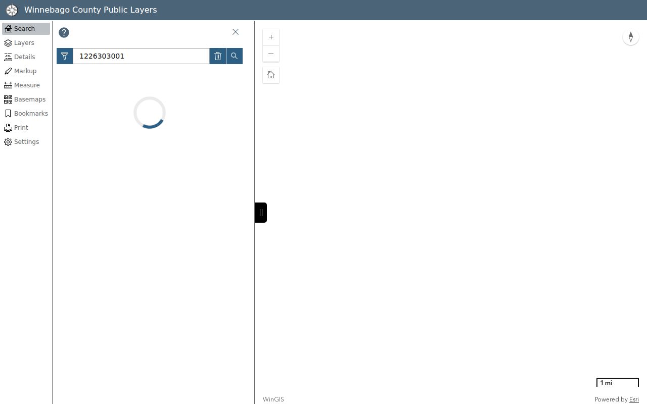
Use WinGIS Property Search to move from one verified address to the immediate ring of parcels. The method stays narrow: click polygons that share an edge or meet the target lot, then verify them individually. Save the map date and active layers so another reader can reproduce the result.
- Search the target address or PIN and confirm the parcel outline and situs address.
- Click each bordering polygon. Save its PIN, parcel address, zoning, and legal description.
- Open each PIN in the Assessor and record the owner or taxpayer label and assessment year.
- Check plats or deeds when a shared boundary, parcel split, or street-facing mismatch needs proof.
- Add permits or historical sources only when they answer a specific question about the block.
The manifest image below is a WinGIS parcel example from its official source. It illustrates the parcel-centered method without treating a mapped owner as proof of occupancy.
A full named-street chain is a different task. Use the Rockford street directory workflow when the question extends beyond the immediate block.
Rockford Permits Across the Block
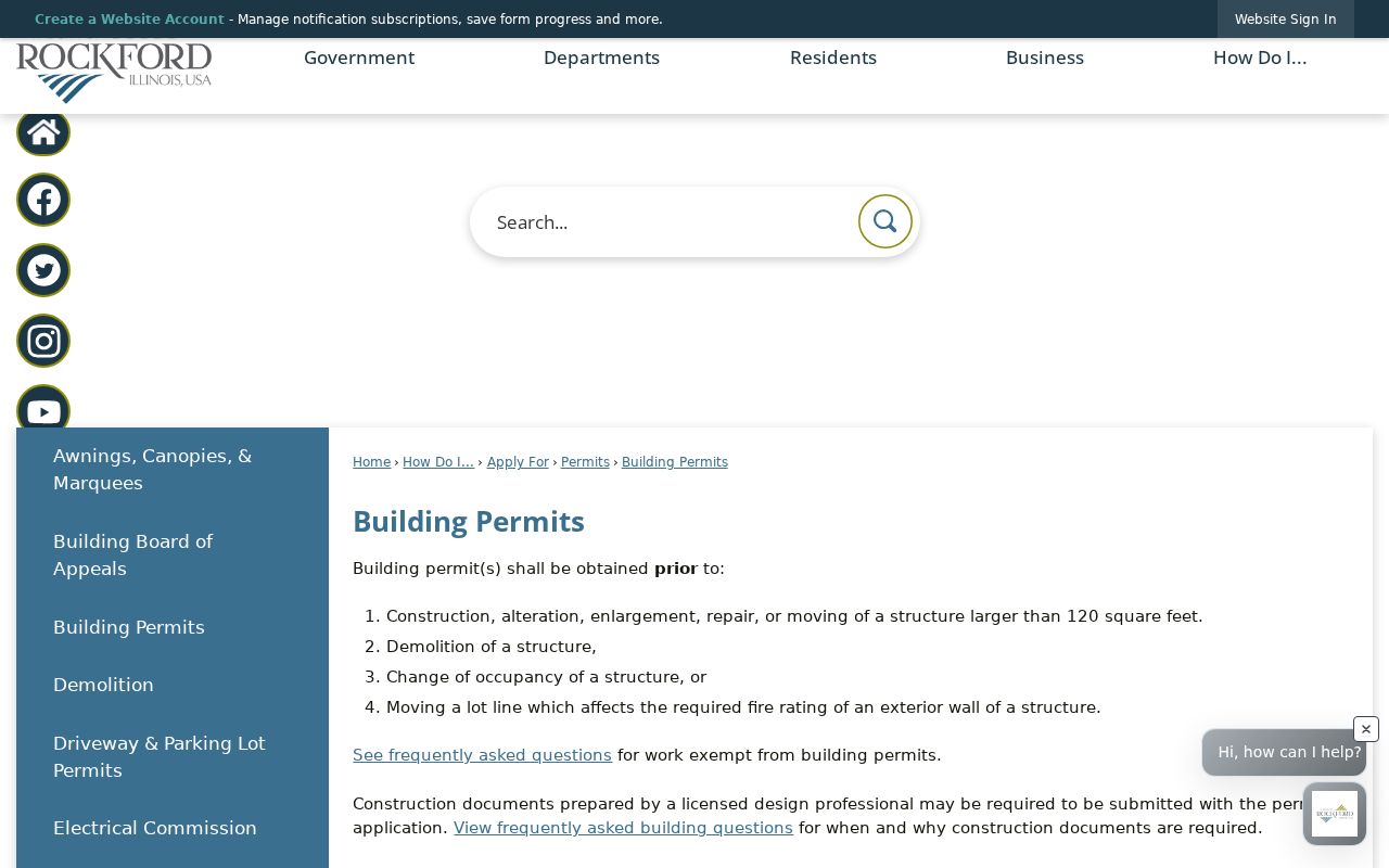
The City of Rockford building-permit office explains when permits and inspections apply. Its open dataset can be filtered by PropertyAddress or PIN and includes the issue date, permit number and type, work type, applicant name, contractor, valuation, and description. Compare the same date window across adjacent parcels to see a block's repair or construction pattern.
Permit fields describe work, not everyone who lived nearby. An applicant or contractor may have no residential tie to the parcel. Save the permit number and date before drawing any conclusion. The official permit guidance appears in the assigned capture.
Administrative Code Hearings provide another address-specific route for building or property-standard cases. The City page explains case prefixes and directs callers to property-address lookup help. Treat a case listing as a compliance record for a date, not a label for current Rockford neighbors.
Note: Record the permit or hearing date because the person, parcel, and condition shown may all have changed.
Rockford Neighborhood Maps Differ
Rockford does not use one boundary system for every neighborhood question. The City Map Gallery links neighborhood groups, wards, zoning, flood zones, historic sites, and other geographic layers. Its Neighborhood Groups ArcGIS viewer accepts an address or PIN and includes a legend and layer list. The live association field list was not available during research, so no unsupported association names or membership rosters should be inferred.
| Map layer | What it means | What it does not mean |
|---|---|---|
| Adjacent parcel | Land geometry touching the target | A household or social boundary |
| Neighborhood group | Mapped association context | Proof that a resident is a member |
| Historic district | A preservation designation area | The same boundary as a civic group |
| Ward or zoning | Government or land-use geography | A directory of people |
The Historic Districts page supplies maps, guidelines, petitions, and designation material. These layers may overlap, but each answers a different question. For community contacts, use the organization details published through the City map or official group page; do not assume every household inside a polygon participates.
Illinois Limits Block Voter Searches
The Illinois voter registration lookup is designed to confirm one known voter. Its first stage requires first name, last name, birth date, and a five-digit ZIP. A later stage confirms street number and street name. It is not an anonymous browse of every registration on a Rockford block.
Illinois Election Code controls broader voter-file access and redacts sensitive fields. Commercial and marketing uses are restricted, and protected participants may have added safeguards. A voter match shows registration information for that person at the time of the system response. It does not establish every occupant at an address, party attendance, property ownership, or a complete list of neighbors.
When the name is not already known, stop at parcel and community context. Do not try to reverse-engineer protected election information by mixing voter data with property or commercial compilations.
Historic Rockford Neighbors by Year
Rockford's reverse directory began in 1903–04, creating an address-to-name route for historic blocks. Later city directories and the 1987 Hill-Donnelly cross-reference can show occupants or businesses on both sides of an address. Census schedules add household context for released federal years through 1950. Each result belongs to the printed or enumeration year, not the present.
Older research needs extra care because Rockford changed street numbers in 1893. The earliest directories may describe a place as near, opposite, at a corner, or between streets. Compare a directory entry with an atlas or Sanborn map, consecutive entries, and nearby households. The Rock River, east and west directions, and former township names can also distinguish two similar location clues.
This method is useful for block history without publishing a modern list of people. Save the directory year, street form, census year or enumeration location, and map sheet so every historic label can be checked.
Deeds Affect Rockford Neighbors
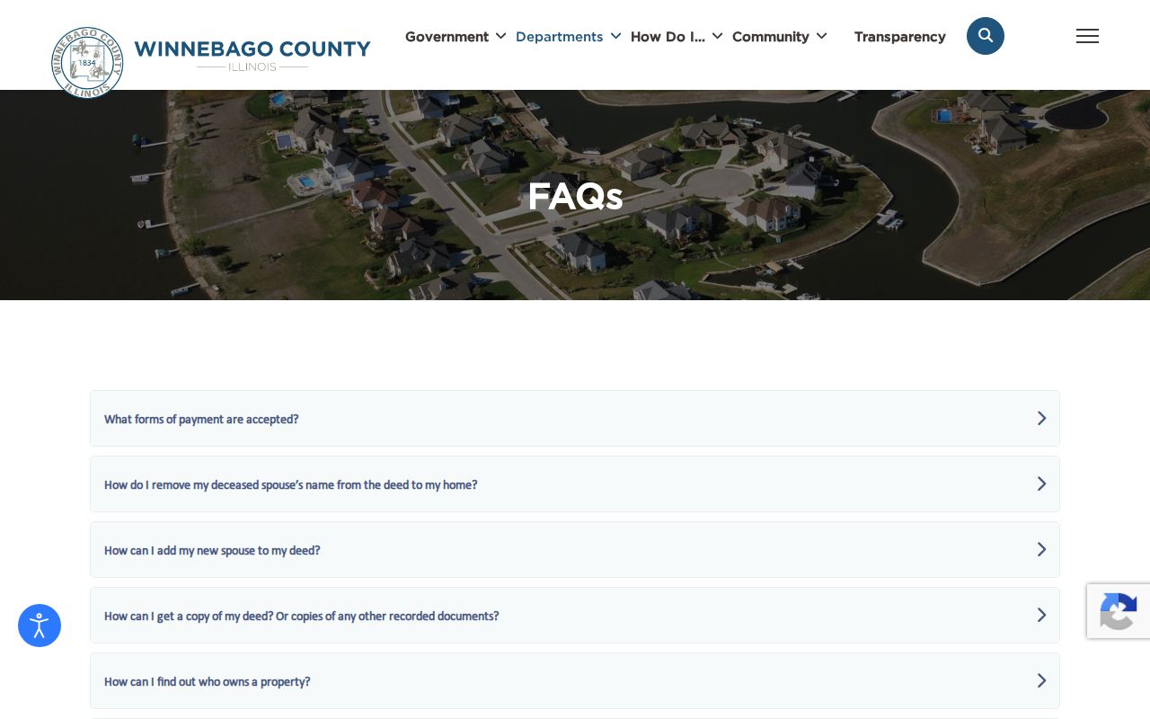
Every adjacent parcel has its own title chain. The Winnebago County Recorder FAQ explains deeds, copy costs, scams, and the county's Property Fraud Alert referral. A shared fence line does not merge ownership, and one deed should not be projected across the block. Use plats and legal descriptions when a split, combination, easement, or boundary question appears.
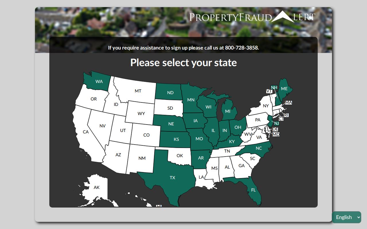
The county-linked Property Fraud Alert sends a phone, email, or text notice when a newly recorded document matches a registered name. It does not prevent recording or prove fraud. The capture below identifies the alert service readers may use for their own name.
The Recorder's official FAQ is also represented by the second assigned capture.
Official Rockford Records Compare Better
Commercial neighbor tools often blend filings, directories, marketing data, and inferred relationships. They may be fast, but their dates, labels, and correction paths are often unclear. Official sources are narrower. That narrow scope is useful because each record states what the custodian actually maintains.
| Source type | Strength | Main limit |
|---|---|---|
| County or City record | Dated fields, named custodian, defined purpose | Shows only that record system's role |
| Library or archive | Year-specific directories, maps, newspapers, census access | Historic snapshot, gaps by edition |
| Commercial compilation | May gather many clues quickly | Inferred links, stale data, unclear sourcing |
Use a compilation only as an unverified clue, never as the source of a public claim. Return to WinGIS, the Assessor, Recorder, City permit data, voter confirmation, or the library collection for evidence.
Privacy for Rockford Neighbor Lookups
Public parcel records do not provide a full household roster. Utility, delivery, driver's-license, and many personal contact records are not open neighbor-search tools. Illinois also operates an Address Confidentiality Program for qualifying victims. It supplies a substitute address for new state and local government records, with exceptions, and uses a protected voter-registration process.
The program cannot erase information that was already public and currently cannot guarantee confidentiality in property records. That limit is not an invitation to reconstruct a protected person's location. Use the minimum data needed for a parcel, permit, historic-block, or civic question. Avoid republishing personal mailing addresses or turning adjacent owner names into a public roster.
Lawful use. Look up Rockford neighbors for civic context, block history, reconnection, or personal safety. Never watch, intimidate, harass, or harm anyone.