
Rockford ZIP Code Coverage
The official RockGIS postal layer returns nineteen codes in the 611 family. Some are standard street-delivery areas, while others serve boxes, stations, or special destinations. The Rockford ZIP code directory therefore keeps delivery type beside each code. USPS remains the source for a specific mailing address, and parcel tools decide municipal or county jurisdiction.
| ZIP | Rockford-area designation | Postal type or station | Search note |
|---|---|---|---|
| 61101 | Rockford central and Kilburn area | Street delivery; Kilburn Station | Not proof of city limits |
| 61102 | Central and west Rockford mailing area | Street delivery | May extend past the city line |
| 61103 | Rockford and north-area aliases | Street delivery | Check Machesney Park and Winnebago labels |
| 61104 | Central and east Rockford | Street delivery | USPS address result controls |
| 61105 | Downtown Rockford | PO box; Downtown Station | Not a residential block |
| 61106 | Broadway station area | PO box; Broadway Station | Station code, not parcel area |
| 61107, 61108 | East and northeast; south and east | Street delivery | Postal polygons may cross city limits |
| 61109 | Rockford, New Milford, Morristown aliases | Street delivery; New Towne | Use old names in historical searches |
| 61110 | Rockford | PO box or unique | No street-wide inference |
| 61111 | Loves Park overlap | Street delivery | Usually not City of Rockford |
| 61112, 61114 | South; north and east Rockford | Street delivery | Verify each full address |
| 61115 | Machesney Park, Loves Park, Rockford aliases | Street delivery | Use parcel GIS for municipality |
| 61125, 61126 | Rockford facilities or special destinations | PO box or unique | Not a neighborhood label |
| 61130, 61131, 61132 | Rockford postal coding set | Unique or PO-box destination | Exact type needs USPS verification |
Grouping codes in one row does not merge their boundaries. It highlights codes that need the same caution. A box or facility ZIP cannot stand for a residential neighborhood, and the Loves Park or Machesney Park overlaps demand a parcel-level jurisdiction check.
The table also reflects different kinds of evidence. USPS facility pages identify Kilburn, Downtown, Broadway, New Towne, and the Rockford processing facility, while the City GIS layer supplies polygon codes. Neither source alone says who lives in an area. A useful ZIP code directory keeps its retrieval date because postal coding and map services can change. No verified local realignment year or current public registration count by ZIP was found, so those claims should not be inferred from an unlabeled map or demographic estimate.
Rockford Street and Box ZIPs
Standard codes such as 61101, 61102, 61104, 61107, and 61108 can describe broad delivery areas with many street addresses. Codes 61105 and 61106 are tied to downtown and Broadway post-office boxes. The 61125 code is associated with the Rockford processing and distribution facility, while 61126 and the 61130 through 61132 group require an address-specific USPS check.
This distinction matters in a resident search. A box code points to mail service, not a parcel or neighborhood. Even a standard ZIP is too broad to prove where someone lives. Preserve the exact street, unit, standardized city name, and date of the source.
PO-box and unique codes can still help when the source itself is mail-based. They may explain why a court notice, business filing, or old directory gives a Rockford destination that does not map to a normal residential block. Keep the code as a mailing fact and follow the document's other fields. A parcel inquiry needs a street address, PIN, or legal description. A person inquiry needs a name plus a second identity field. Converting every 611 code into a neighborhood label would erase those important differences.
Verify a Rockford ZIP Address
The USPS ZIP Code Lookup offers three useful modes. By Address accepts a company, street address, apartment or suite, city, state, and ZIP. By City and State returns the city's recognized ZIP list. Cities by ZIP returns recognized mailing-city names. USPS warns that its result does not confirm a person or company at the address.
| USPS field or mode | What it settles |
|---|---|
| Street and unit | Standardized delivery address and ZIP+4 when available |
| City and state | Recognized ZIP list for a mailing city |
| ZIP | Recognized city names for that postal code |
| Company | Helps format business delivery, not personal identity |
Include an apartment or suite whenever known. Omitting it can produce a building-level result that is too broad for a resident lookup.
Map Rockford ZIP Polygons
The City of Rockford publishes an official GIS ZIP polygon layer. A query on its PostCode field returned all nineteen 611xx codes used in the coverage table. The layer is valuable for seeing adjacency and overlap, but its polygon is still postal geography rather than title, occupancy, or municipal proof.
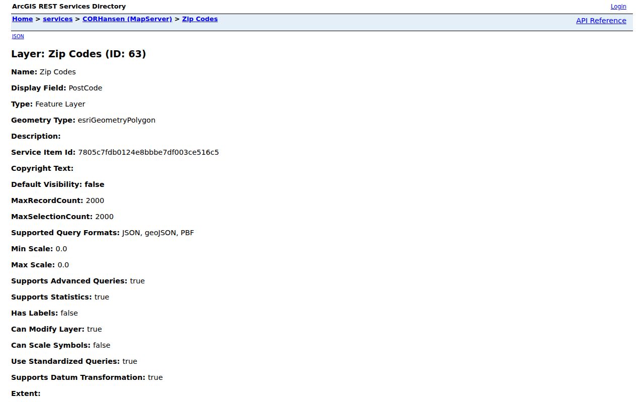
The map service makes shared edge areas visible. Pair the polygon with a WinGIS PIN and Assessor parcel result when the actual question is which city or county unit controls an address.
Rockford maps contain several overlapping geographies, including wards, zoning, flood zones, historic sites, neighborhood groups, and postal polygons. Each layer answers its own question. A ZIP polygon cannot replace a ward boundary, and a neighborhood group cannot replace a parcel. When labels disagree, save all of them with their sources instead of choosing the most familiar name. That practice is especially useful near the Rock River and at edges shared with Loves Park, Machesney Park, Cherry Valley, or unincorporated Winnebago County.
Find Rockford Residents by ZIP
Only a few official tools accept ZIP as a direct field. The state voter form requires it along with name and birth date, while I-Cash uses it as an optional way to narrow a name. Neither produces a public list of all people in a ZIP. The Assessor and WinGIS do not offer a broad ZIP field, so a full address or PIN is needed there.
- Verify the full street address and unit with USPS, then save the standardized city and ZIP.
- Use the Illinois voter lookup only with the required name, birth date, ZIP, and second-stage street fields.
- For property research, move from address to PIN in WinGIS and confirm the owner or taxpayer through the Assessor.
- Compare the City ZIP polygon with parcel jurisdiction when the mailing city and municipal line seem to conflict.
Once the postal area has been narrowed, the Rockford street directory handles address-by-address research. That separation keeps a ZIP code directory from making claims that only parcel or street records can support.
Rockford ZIP Place-Name Aliases
Postal names and local names do not always align. Codes 61111 and 61115 can carry Loves Park, Machesney Park, or Rockford-area labels. The 61103 and 61109 areas also reward searches under alternate names. New Milford and Morristown can appear in older address material tied to the 61109 area.
For a dated record, search the name used in that period as well as the current postal city. The Assessor's parcel jurisdiction, City ward map, and WinGIS parcel geometry are better tie-breakers than an alias printed on an envelope.
Place-name drift reaches beyond current postal aliases. New Milford later became Cherry Valley, Howard became Durand, and Elida became Winnebago. Those names can affect censuses, deeds, newspapers, and directories even when the modern address now carries a Rockford-area ZIP. Preserve township and county labels alongside the mailing city. A search that uses both old and current names is more likely to recover a continuous record trail without pretending that the jurisdictions were always the same.
Rockford Addresses Before ZIP Codes
A ZIP cannot solve Rockford's older address problems. The city changed street numbers in 1893, and the 1857 directory often described a location as at a corner, near or opposite a landmark, or between two streets. Later sources may add house numbers, yet the pre-change and modern numbers still need a bridge.
Use the old intersection, legal description, atlas or Sanborn sheet, directory year, and current PIN. That method also preserves the east or west side of the Rock River and the directional part of a street name. ZIP geography belongs only at the modern end of that trail.
Rockford ZIPs Versus City Limits
ZIP codes direct mail; they do not establish municipal borders. Rockford-area polygons touch or serve Loves Park, Machesney Park, Cherry Valley, Winnebago, and other county communities. A Rockford mailing name can sit outside the City of Rockford, and a city parcel can use a postal label that looks like a nearby community. Use USPS for delivery, WinGIS for parcel geometry, and the City map for wards or city services.
- ZIP and ZIP+4
- The five-digit delivery area and its more exact four-digit delivery segment.
- PO-box ZIP
- A code used for mail collected at post-office boxes, not a residential polygon.
- Unique ZIP
- A code assigned to a high-volume organization or special destination.
- Carrier route
- A mail-delivery path within a ZIP, not a city or neighborhood border.
Boundary check. A Rockford ZIP code is a delivery answer. Confirm the parcel and municipality before drawing any resident or jurisdiction conclusion.
For an uncertain address, compare five labels: the USPS standardized city and ZIP, the City postal polygon, the WinGIS parcel, the City ward or service map, and the Assessor jurisdiction. Record which source produced each label. If the goal is mail delivery, USPS wins. If the goal is ownership or taxation, use the parcel and assessment systems. For city services, use the municipal layer. This source-by-source method gives the Rockford ZIP code directory a practical role without turning postal geography into a claim about a person.