
Rockford Previous Resident Sources
A reliable Rockford address history separates title evidence from evidence of daily life. The county assessment roll and deed records identify owners or taxpayers. City directories, census schedules, and obituaries can identify people who lived there, including some who never held title. Maps and permits tell when a structure stood or changed. The strongest answer about previous residents joins several dated sources rather than treating one name as a complete household.
| Source | Years It Covers | Where Held | What It Shows |
|---|---|---|---|
| Assessor parcel search | Current through 2003 | Winnebago County Assessor | Owner, taxpayer, PIN, values, exemptions |
| Recorder deeds | 1836–1891 archive series; current office records | Recorder, Fidlar, IRAD | Parties, filing date, legal description, book and page |
| Reverse directories | 1903–04 onward; selected runs | RPL, WCHS, Ancestry | Occupant or business listed by address |
| Federal census | Released schedules through 1950 | NARA and RPL databases | Households at a dated census location |
| Sanborn maps | 1887, 1891, 1897, 1913 and later revisions | LOC, UIUC, RPL | Building footprint, use, materials, and block context |
| City permits | Open dataset created 2025 | City of Rockford | Issue date, address, PIN, work, applicant, valuation |
For a recent question, begin with the PIN, assessor history, and Recorder. For the early twentieth century, add reverse directories, census pages, and Sanborn sheets. Before address-first directories existed, a name-first directory, street intersection, atlas, deed legal description, and nearby owners may be needed. The date under study determines the best first source.
Anchor Rockford Address Records
Start at the Winnebago County assessment search. Search by parcel location, then save the PIN, owner or taxpayer label, mailing address, legal description, and selected tax year. Its historical assessment selector reaches back through 2003. A PIN is the parcel identification number. It is more stable than a mailing address, especially after a street is renamed, renumbered, split, or joined.
Next open WinGIS Property Search to confirm the parcel shape and nearby lots. WinGIS also offers a 1939 aerial layer. Record the date of each screen because owner and assessment fields change. An exemption can support a theory of owner occupancy, but it does not prove who slept in the home or list every household member.
Note: Keep the situs address, owner mailing address, PIN, and legal description in separate fields so one label is not mistaken for another.
What Rockford Deed Records Reveal
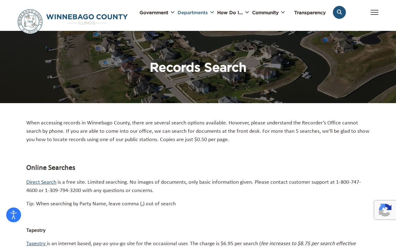
The Winnebago County Recorder records-search page offers several access routes. Direct Search is free and shows limited basic data without document images. The county advises leaving the comma out of party-name searches. Tapestry provides occasional pay-as-you-go searching, while Laredo is the subscription path. The current online starting year was not published, so an empty web result should never be treated as proof that no deed exists.
A saved index entry should include the grantor, grantee, instrument number and type, instrument date, filing date, consideration, legal description, and book and page. These fields identify a transaction, not all previous residents. For images or older material, visit the Recorder at 404 Elm Street, Room 405, use a public station, or submit a mail or email search request. The office does not perform phone searches. IRAD at Northern Illinois University supplies the deeper archive route for deed books and entry books.
The manifest capture below comes from the county's official historical deed-search route. It shows the source readers should use when the basic index is not enough.
Trace Rockford Owner Records
A chain of title is the sequence of recorded ownership transfers for the same property. Work from a known current parcel toward older owners, checking the legal description at every turn. Names alone are risky because one person can buy several parcels and two people can share a name.
- Pull the current owner, PIN, and legal description from the Assessor and verify the parcel shape in WinGIS.
- Search the current owner as grantee, the buyer receiving title, and locate the purchase deed.
- Save the seller or grantor, filing date, instrument number, and book and page. Confirm the same legal description.
- Search that seller as an earlier grantee. Repeat the link, watching for plats, lot changes, and adjoining parcels.
- When web coverage ends, use the office station, mail or email service, or IRAD deed and entry books.
- Grantor and grantee
- The grantor transfers an interest; the grantee receives it.
- Chain of title
- The linked sequence of recorded transfers for one parcel.
- Legal description
- The lot, block, plat, or survey language that identifies land even when its street number changes.
Rockford Previous Resident Maps
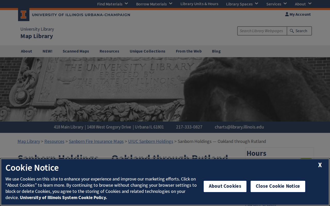
Deeds date title, not construction. Rockford Sanborn fire-insurance maps help show when a footprint appears, its use, building material, fire walls, and changes between editions. The verified local map dates include 1887, 1891, 1897, and 1913, with the 1913 set corrected through 1950. UIUC also lists east-side sheets for 1913, 1919, and 1923, west-side material for 1923, and later microfilm volumes.
Open the UIUC Rockford Sanborn holdings after identifying the block and historic number. A map label may name a business or use, but it usually does not establish a household.
For newer alterations, the City building-permit dataset records address, PIN, issue date, work type, applicant, contractor, valuation, and description. A permit applicant is not automatically an occupant. Together, map and permit dates tell the building's story while directories and census records supply people.
Bridge Rockford Address Records
Rockford changed street numbers in 1893. That geographic break is one of the most important facts in a previous residents search. A modern 500 block cannot simply be matched to the same number in an 1880 volume. Early entries may say “corner,” “near,” “opposite,” or “between” two streets instead of giving a house number.
Bridge the gap with an intersection, lot and block, plat, atlas or Sanborn footprint, and the names of adjacent owners. Compare directory editions on both sides of 1893. Keep east and west directions, the Rock River side, township, and old street spelling. Historic place-name changes also matter: New Milford became Cherry Valley, Howard became Durand, and Elida became Winnebago around the directory era. Search both names when the address lies outside the city core.
Note: USPS standardizes mail, but WinGIS and the legal description are the better tie-breakers for parcel identity and municipal jurisdiction.
RPL Finds Rockford Previous Residents
The Rockford Public Library Local History collection brings together maps, plats, street maps, Rockfordiana files, city directories, newspapers, vital indexes, and licensed genealogy databases. Staff accept research requests by email or mail. The form asks for contact details, the subject or person, record type, event date, and enough address data to distinguish the property.
Research costs $15 per hour or portion, prepaid. The current web page and PDF differ slightly on whether the weekly limit is three forms or one form containing up to three requests, so confirm the current procedure before sending a request. Results may arrive as scans by email or physical mail. Reproduction terms limit later distribution.
This is especially useful when travel is hard or an old number needs expert map work. It is also a practical access channel when a licensed database is available only inside the library. The selected scans and physical runs themselves are described more fully in the Rockford city directory collection.
Protect Rockford Property Records
Past-owner research can also expose a suspicious new filing. The Recorder points property owners to Property Fraud Alert, a free name-based service that sends a phone, email, or text notice after a matching document is recorded. It does not block filing, cancel a deed, or correct the index. A notice is a prompt to inspect the actual instrument and contact the Recorder.
Winnebago County also announced a property-fraud referral and review process required by Illinois law, with local implementation anticipated on or after September 8, 2026. Verify current status with the office because implementation dates can move. This timely layer protects the modern end of a title chain, while the historic search still depends on deeds, maps, directories, and archive books.
Rockford Past Households Beyond Deeds
Owners are only part of the story. Rockford's first verified reverse-by-street directory appeared in 1903–04, and later editions can turn an address into an occupant or business name. Federal census schedules provide a household snapshot for released years through 1950, although street detail varies. Pair the nearest directory edition with a census year and keep each date visible.
- Find the address in a reverse directory, or find a known person in a name-first edition.
- Translate abbreviations such as residence, boards, corner, near, and opposite before assigning a role.
- Locate the matching census household by ward, township, street segment, and nearby names.
- Compare the result with a deed date, map footprint, permit, newspaper item, or later directory.
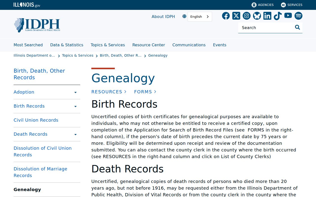
An obituary can connect a past resident with relatives, dates, and another place. RPL's local death index covers 1844–1981, while HeritageHub and the Register Star archive broaden the newspaper search. Probate files may identify a decedent, fiduciary, heirs, lawyers, or notice addresses. Certified vital records remain subject to Illinois eligibility rules. The IDPH genealogy route generally opens birth genealogy records after 75 years and death genealogy records after 20 years.
Lawful use. Research Rockford previous residents for house history, family history, heir questions, or personal curiosity. Never use a record trail to track, harass, or harm a living person.